
La Mola looks down onto the pretty seaside town of Cala sant Vicenc in the far north east of the beautiful island of Mallorca. Here, you can while away the hours enjoying a nice cold beer or meal in one of its many picturesque sea front bars whilst gazing out onto the aqua blue Mediterranean gently lapping onto the small sandy beach. In fact, the Med features prominently today, being in view throughout most of the walk.
We start just outside of town at one of the Pollenca tourist information boards that shows the route as far as the Coves Blanques. A stone track leads to a metal gate which, although having the appearance of leading to private land actually takes you through a wooded area and then out onto the open hillside that rises gently above the town.

The track, marked on the map as the Cami de ses Coves Blanques, winds its way slowly higher on an easy gradient leading towards the headland. As height is gained, the impressive cliffs of Serra del Cavall Bernat are seen to good effect across the bay, a sheer rock face dropping vertically from top to bottom straight down into the ocean.

Once at the headland, the track ends and I take the opportunity to rehydrate before heading off across the brush land. It’s another hot day in Mallorca, there is not a cloud in the sky and not even a hint of a breeze so I’m glad I’ve brought plenty of water and the sunblock.


This is of course part of the appeal. The settled warm dry weather, the sunshine, the sea views and local sights and history, along with the different topography and terrain all add to the variety of hillwalking in Mallorca that doesn’t have a comparison at home. And once onto the footpath, I get to experience some of that different terrain. There is a feint path that leads the way to my first objective Puig de L’Aquila but the ground is rugged and rocky underfoot. Unlike the U.K. the plants and bushes of Mallorca are generally hard and spiky in order to cope with the hot, dry and sunny conditions that prevail here. If you are wearing shorts and walking off the beaten track this generally means scratched legs. Today thankfully I’ve got long walking trousers on, which although not as cool, keep my legs from punishment.
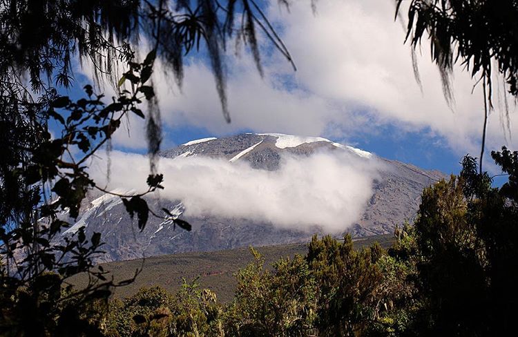
After a short stretch of uphill walking the picturesque summit of Puig de L’Aguila (Eagle peak) is reached. It is marked by a small square marker and there are good panoramic views from its relatively small height of 208 metres. Cala sant Vicenc can be seen clearly below and the bay of Pollenca and Port de Pollensa have now come into view. There is also a grand view of La Mola, the main objective of the day straight ahead.

After leaving the summit I continue gradually upwards, picking my way through the gorse and rocks on an intermittent path to a small rise where the path converges at the cliff edge. With a drop straight down several hundred metres into the valley below, care should be taken here not to get to close to the edge or lose your footing on the rocky ground. From here there is a good view of Punta Galera, a small peninsula of land jutting out like a bony finger into the sea between Cala Castell and Cala Estremer.
The path continues upwards at the steepest incline so far on the walk and then bends around, across a small valley before starting the ascent to La Mola. Care should be taken here with route finding as the path is hard to discern, I use a GPS but got carried away at one point heading off towards Puig de Cornavaques before having to correct myself.

Crossing a dry valley, the high ground is followed upwards and this leads eventually to the summit of La Mola. It’s a good feeling to get to the top after a bit of sweat and toil on the final stretch. I get the pack off, enjoy a drink and bite to eat and sit and admire the view.

La Mola is 474 metres high and there are extensive views from the top. Cala sant Vicenc can be seen, now looking like a toy town in the valley below. The Formentor peninsula stretches away to the north east, south west is the huge curving bay of Pollenca, its blue waters glistening in the sunshine and Alcudia and the mountains beyond stretch out to the horizon. The views west are limited by the higher ground of Cornavacas but some of the northern coastline can be seen.
The drop off from the summit is steep and unrelenting from the start and I had to use my hands to steady myself on occasions. The geology of the Serra de Cornavaques, as this section of the Serra de Tramuntana is known is made up of hard rock, Dolomitic Limestone, which is sharp and unforgiving to hands and knees but thankfully also very grippy for boots and it provides a firm footing even at steep angles. There are some small cairns, placed at regular intervals on the route down which, although not always obvious to see, do lead the way down the mountain.


After the initial steep drop off, the path skirts around a valley and then picks up a rocky ridge which can be followed all the way back to the track. As I reach the ridge I come across a group of wild goats that seem to be playing hide and seek in the undergrowth. Once the track is reached it is followed back to the start point and then down to Cala sant Vicenc for that welcome ice cold drink.
For map, route details and picture gallery of this walk click on ‘Learn more’ below
