Mt. Nagata
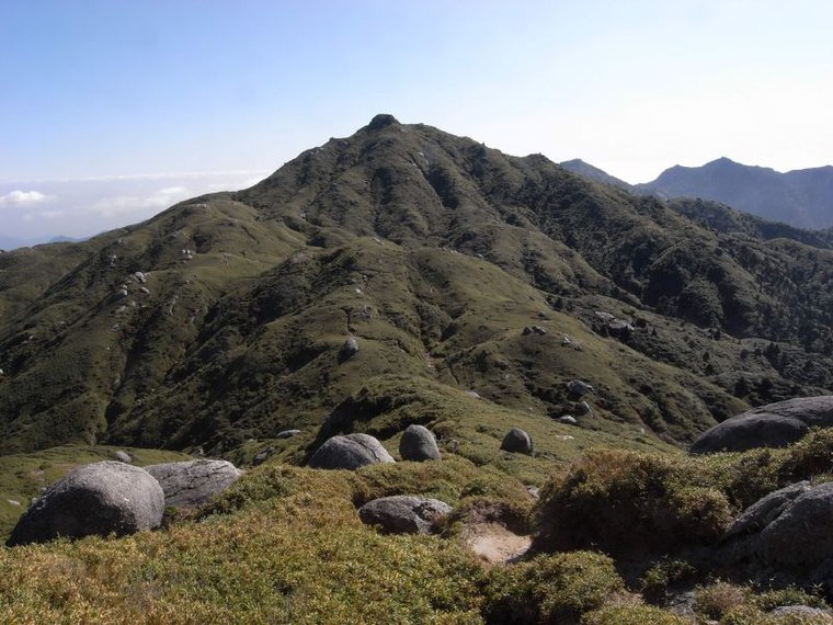
Mt. Nagata is a peak in Yakushima, Kumage district, Kagoshima and has an elevation of 1,700 metres.Photo: Wikimedia, CC BY-SA 3.0.
Notable Places in the Area
Yakushima

Photo: Yasu, CC BY-SA 3.0.
Yakushima is an island off the south east coast of Kyushu next to Tanegashima and north of Okinawa in Japan.

Mt. Nagata
Latitude
30.34292° or 30° 20' 35" northLongitude
130.49241° or 130° 29' 33" eastElevation
1,700 metres (5,577 feet)Open Location Code
8Q2G8FVR+5XOpenStreetMap ID
node 1676549885OpenStreetMap Feature
natural=peakGeoNames ID
1899189Wikidata ID
Q11550240Mt. Nagata Satellite Map
© OpenStreetMap, Mapbox and Maxar
Also Known As
- Cebuano: Nagata-dake
- Dutch: Mount Nagata
- Dutch: Nagata-dake
- English: Mount Nagata
- English: Nagata-dake
- English: Nagatadake
- Japanese: Nagatadake
- Japanese: ながただけ
- Japanese: 永田岳
- Ladin: Mont Nagata
Localities in the Area
Landmarks in the Area
- Mt. NemachiPeak
- Mt. NakashimanokashiraPeak
- Mt. ShojiPeak
- Mt. OkinaPeak
- Mt. AnboPeak
Popular Destinations in Kagoshima
Discover Kagoshima, Yakushima, Satsumasendai and Kanoya.
Escape to a Random Place
Discover other destinations in the world.
About Mapcarta. Thanks to Mapbox for providing amazing maps. Data © OpenStreetMap contributors and available under the Open Database License. Text is available under the CC BY-SA 4.0 license, excluding photos, directions and the map. Photo: Wikimedia, CC BY-SA 3.0.