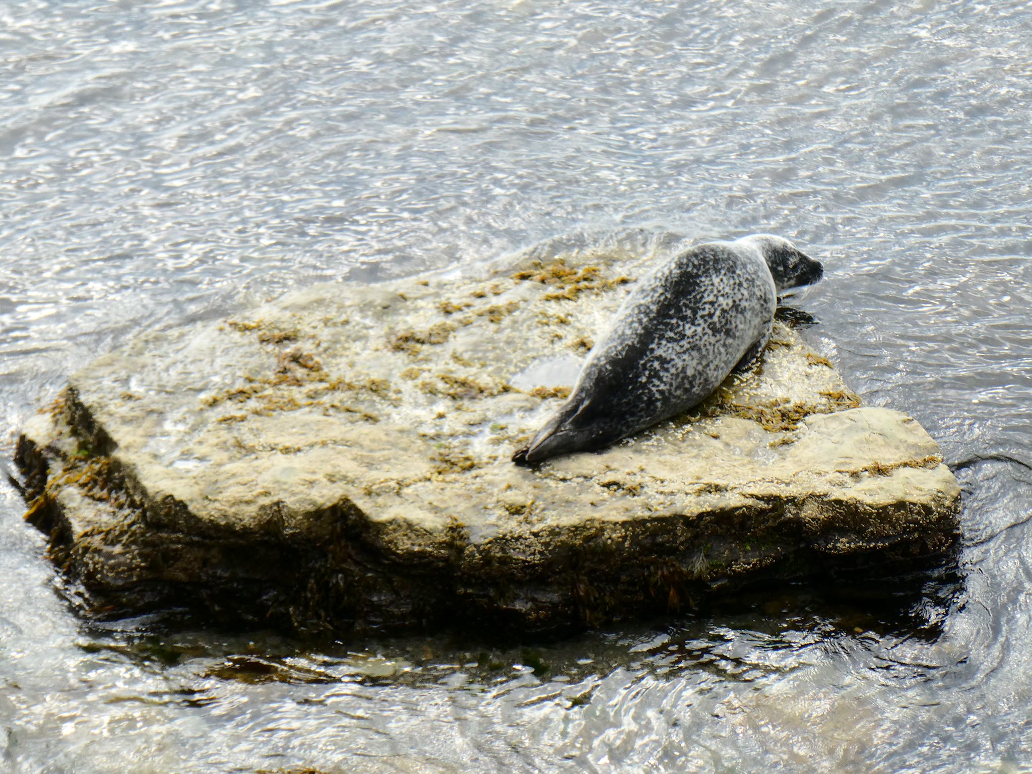
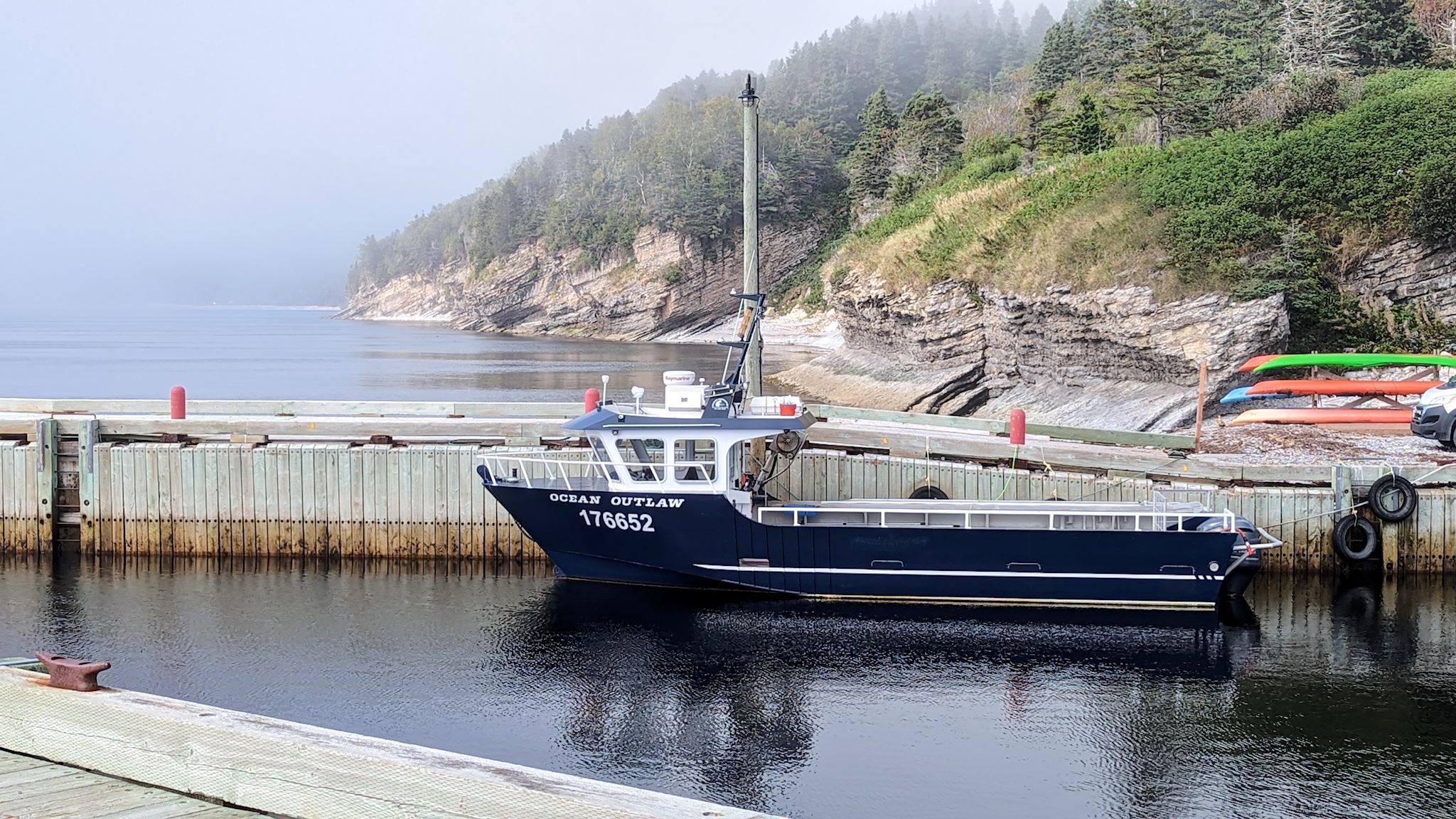
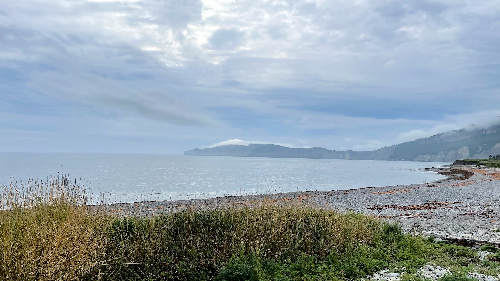
The Gaspe Peninsula is that long, thin blob of Quebec that extends along the southern shore of the St Lawrence River, to the north and east of Maine. This is funny – I knew it was on the St Lawrence, yet never noticed the south side of this peninsula before. The south side is along the Baie des Chaleurs (Bay of Warmth). I was surprised by the many similarities to the Cape Breton peninsula, though this makes sense given that the same geological events formed them both and both subsequently received similar shaping from the glaciers. The east side of Cape Breton/south side of Gaspe have a gentle slope to the sea/bay/ocean while the west/north sides are seemingly endless series of sharp cliffs plunging into the river/sea/gulf. And both have Parcs Canada national parks spanning the width of the peninsula. The road along the south side of Gaspe is dominated by beachy resort towns while the road along the St Lawrence passes through what appear to be mostly fishing towns with a few tourist offerings. There’s a 70-km/40-mi stretch where the road is sort of cantilevered into the St Lawrence at the base of the cliffs. The views are amazing! And as a bonus for the one who’s not driving (thanks Doug!), there are happy seals to be spotted sunning themselves on rocks all along the road.
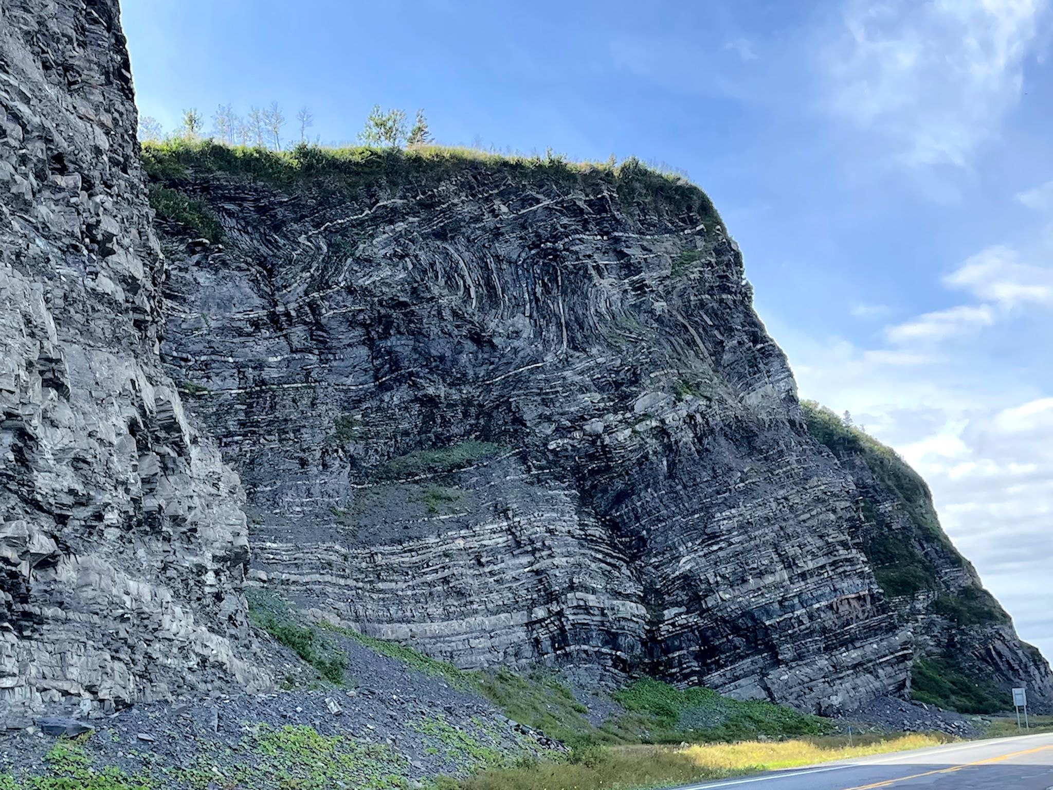
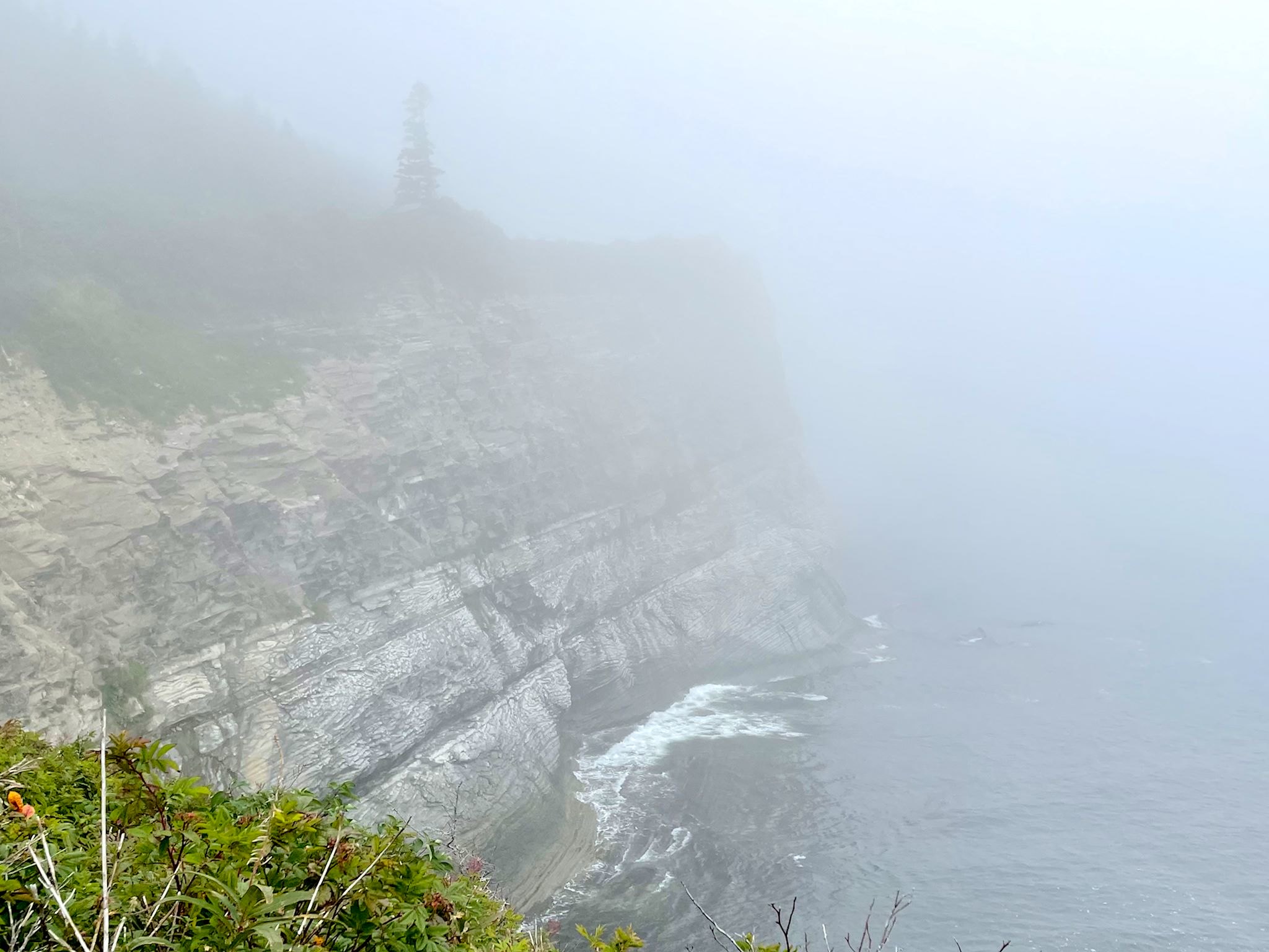
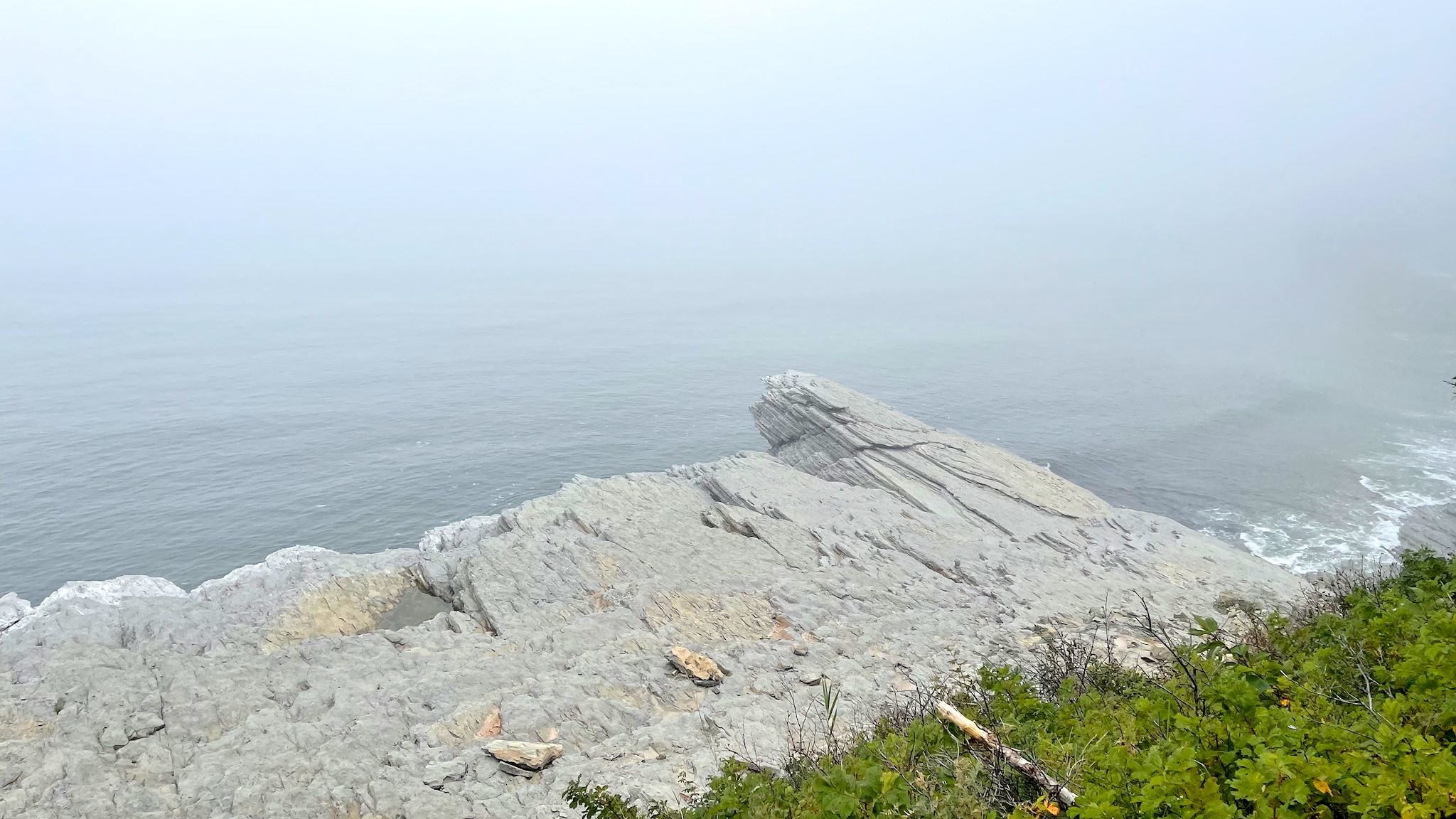
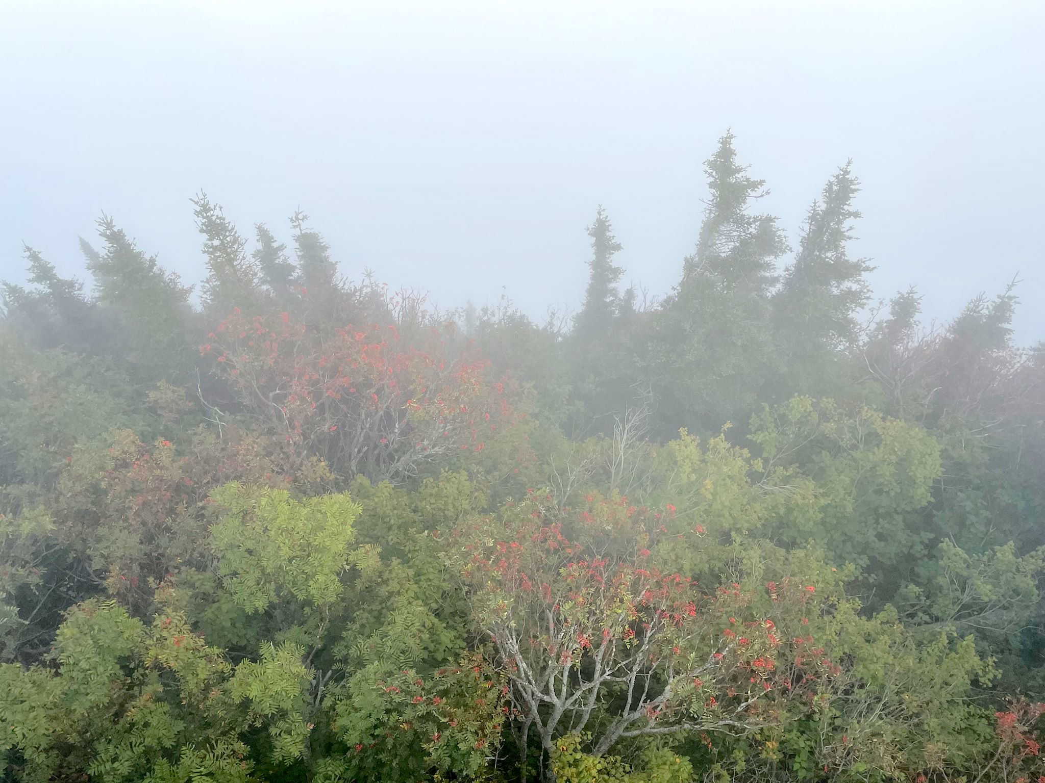
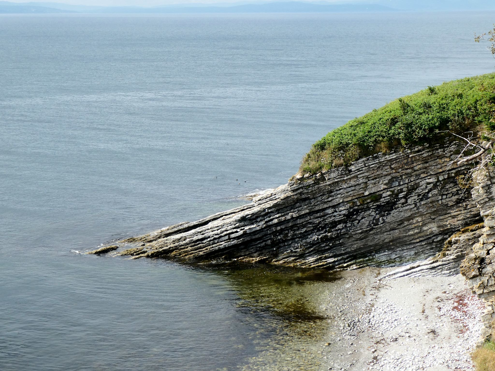
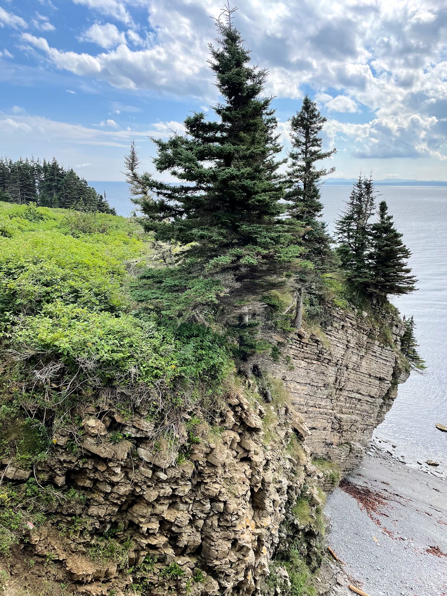
Forillon National Park covers the tippy top bit of the Gaspe Peninsula called, what else… Bout du Monde (Land’s End). The park aims to preserve the natural and cultural heritage. During the collisions of the continents some billions of years ago (as we first learned in Gros Morne National Park), layers of sediment that built up on the ocean floor over millions of years were pushed and shoved and, in some cases, even folded onto themselves. The result is a rugged coast line featuring a unique set of cliffs where 10 distinctive geological formations rocked and rolled to create different colors, textures and patterns, including the characteristic curves in the cliffs that look like cinnamon rolls. The variety in the cliffs and the seaside have in turn resulted in 10 different ecosystems attracting different flora and fauna, some found nowhere else in the world. And today’s climate changes are creating challenges to the ecosystems conserved in the park and no shortage of research opportunities and projects for the park management.
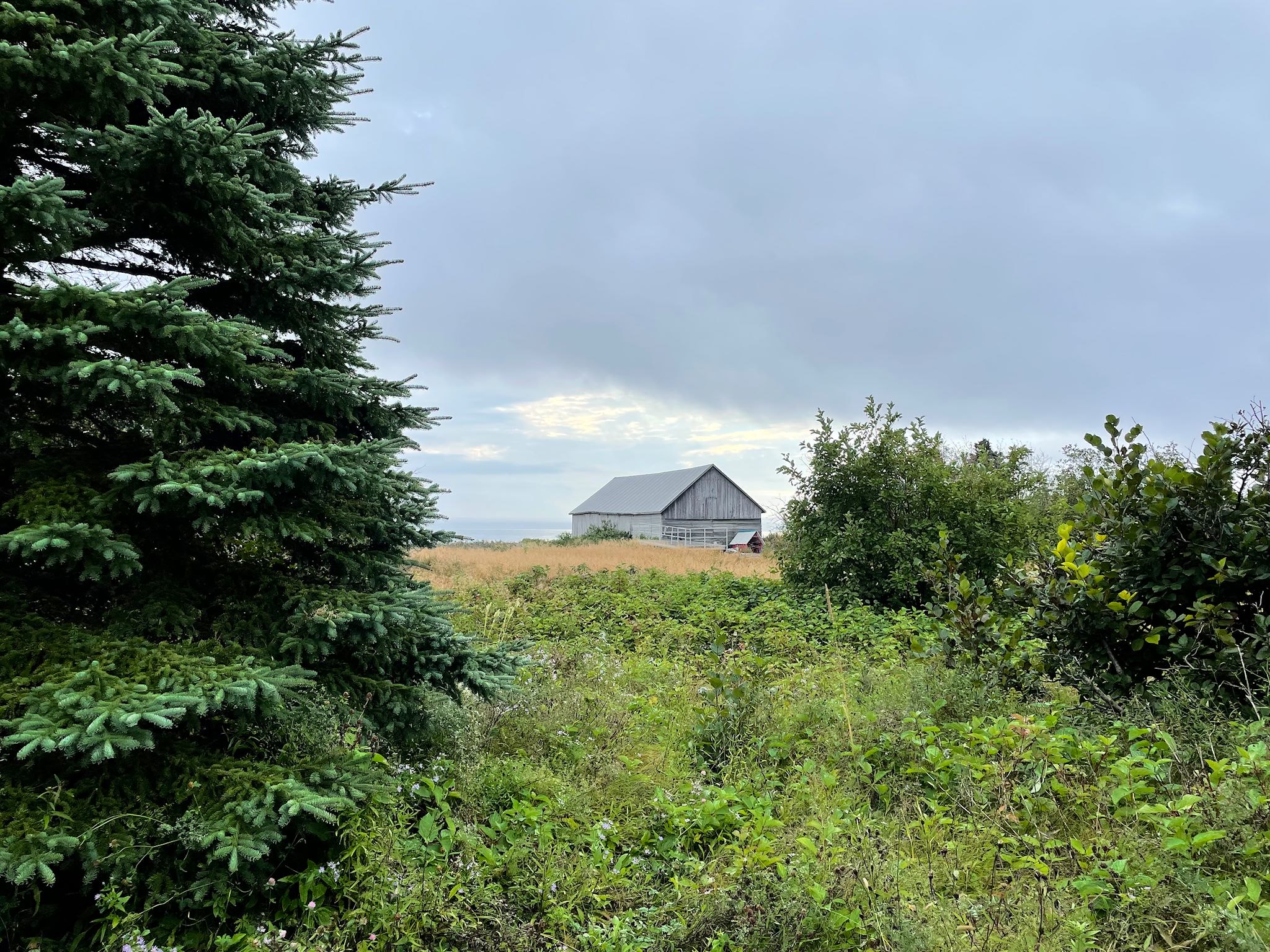
The original settlers of the area in the park includes the Mi’gmaq, French and English, with a long history of fishing, farming and logging by all, to varying degrees. Another of many strategically located points in Atlantic Canada, this area was also critical during WWII. Forillon National Park has several restored historical buildings that are integrated with their interpretative programs on the cultural history of the peninsula.
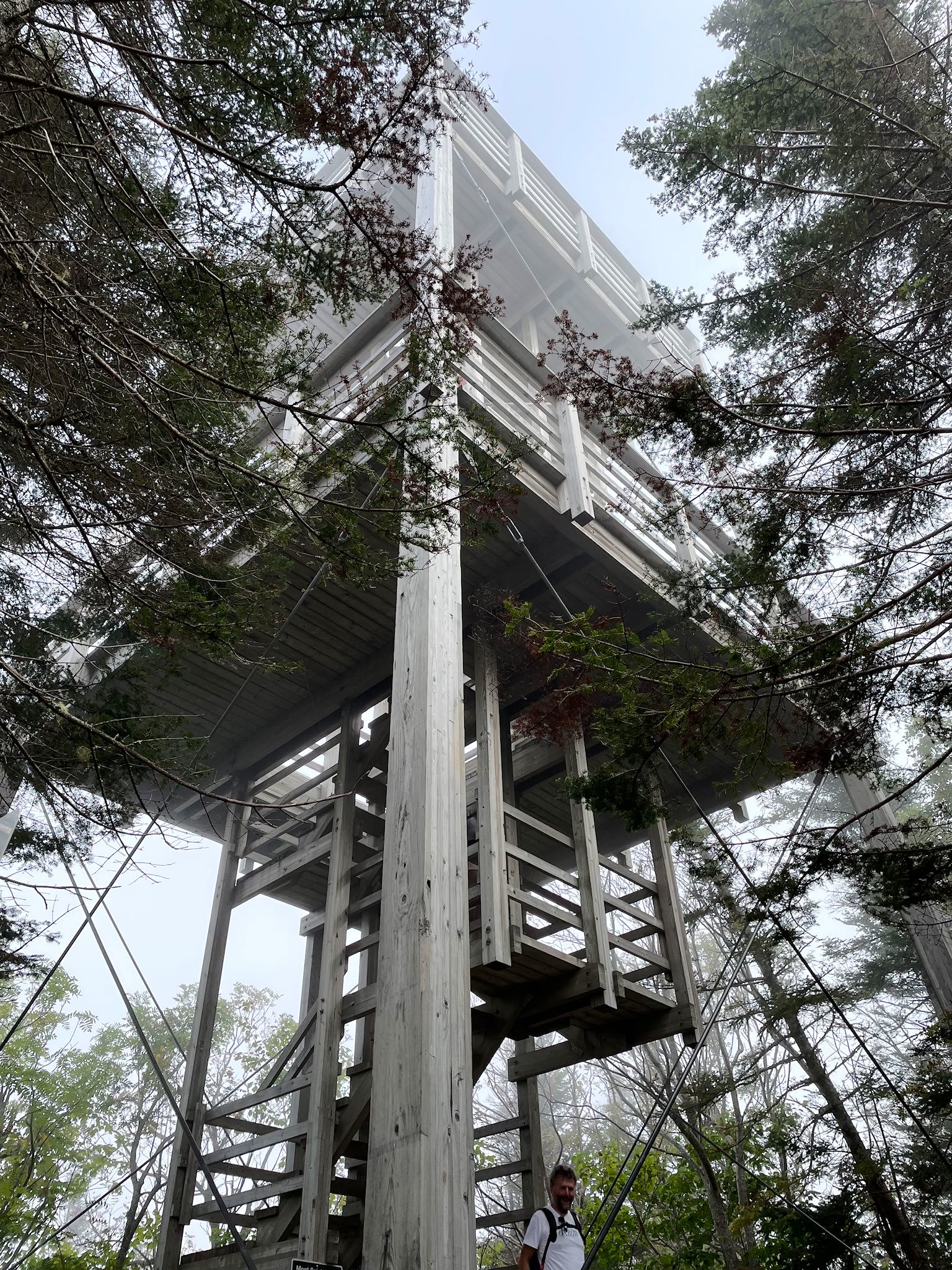
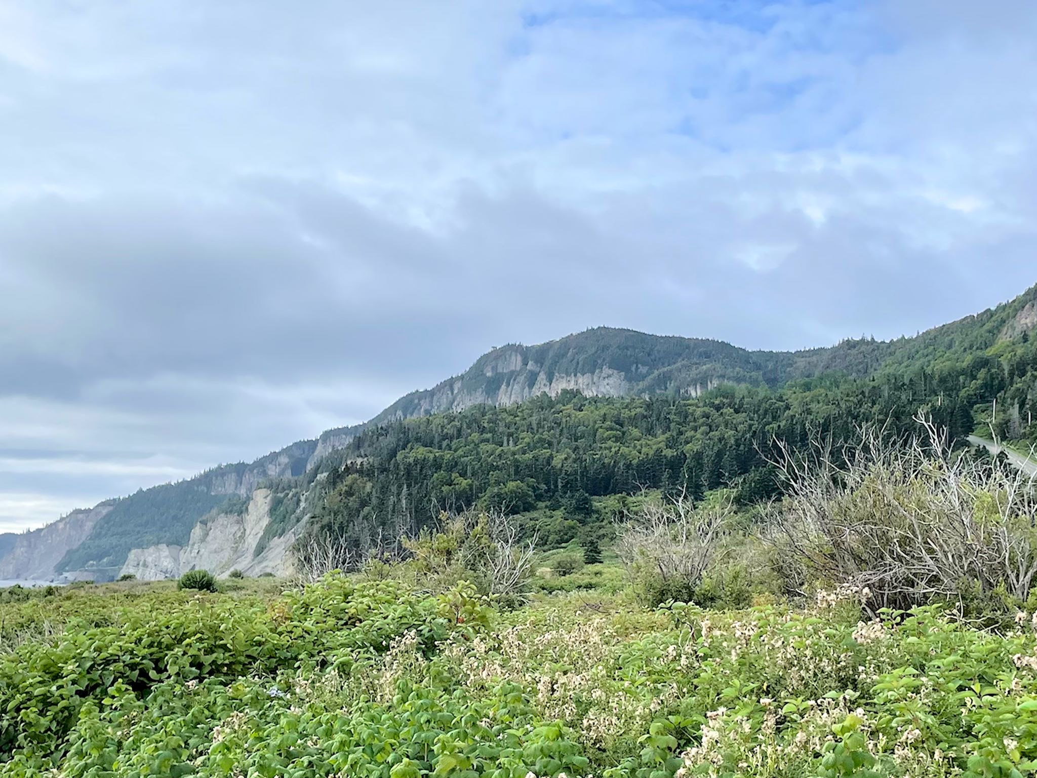
Like many of the seaside places we’ve visited on this trip, activities at Forillon are best planned by looking out the window. IT’S NOT RAINING AND NOT TOO FOGGY, LET’S GO! There was sun poking through the fog on our first morning in the park, though the forecast wasn’t promising. We decided to hike to Mont Saint Alban, as the trail left from near our campground on the north side of the peninsula and looped to the south side before climbing to the summit with a lookout tower. Perfect! By the time we get to the tower, the fog should be lifted. Almost… By the time we reached the south side and visited a few of the historical sites, the sky was bright and sunny. We continued on the trail gaining elevation toward the tower and were totally optimistic – blue sky everywhere! When we made the last turn on the last climb toward the tower, we were back in dense fog. We waited a bit, chatted with some folks we met who’d been waiting hours for the fog to clear. We (and they) finally gave up waiting and returned to camp. Although we missed the views from the tower, we had a wonderful hike – a great route to see the interior of the park.
Other days, you don’t need to look out the window to make a decision. The rain patter on the fiberglass roof of our motorhome lets us know it’s raining. Judging from the speed and volume of this patter when we awoke the next morning, it was raining hard – a perfect excuse to hole up inside and play music all day.
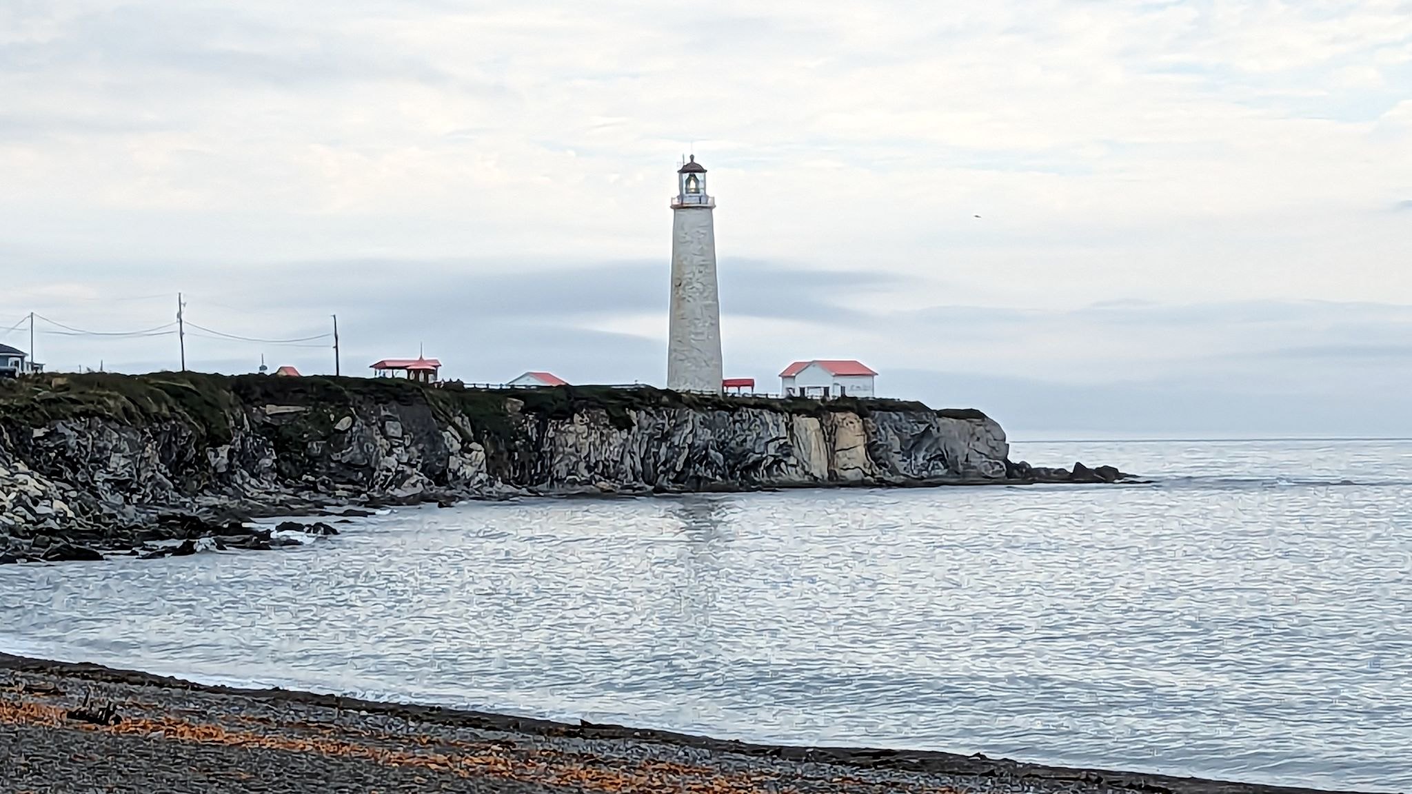
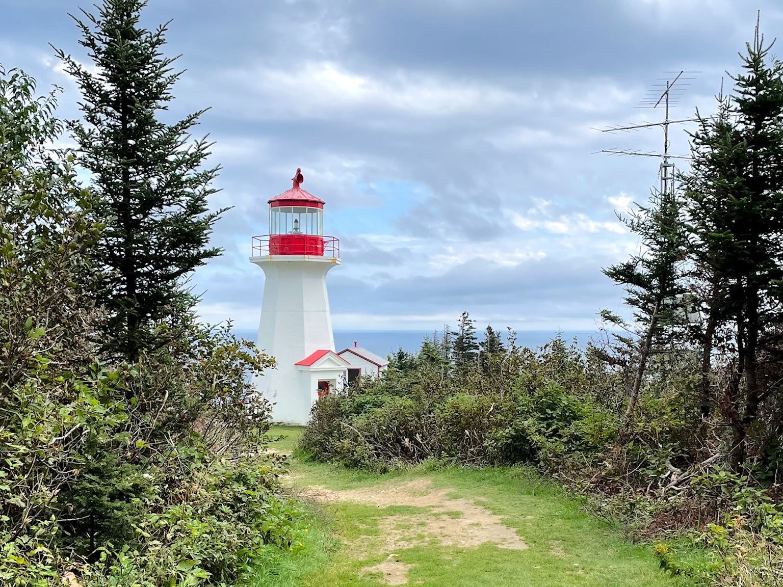
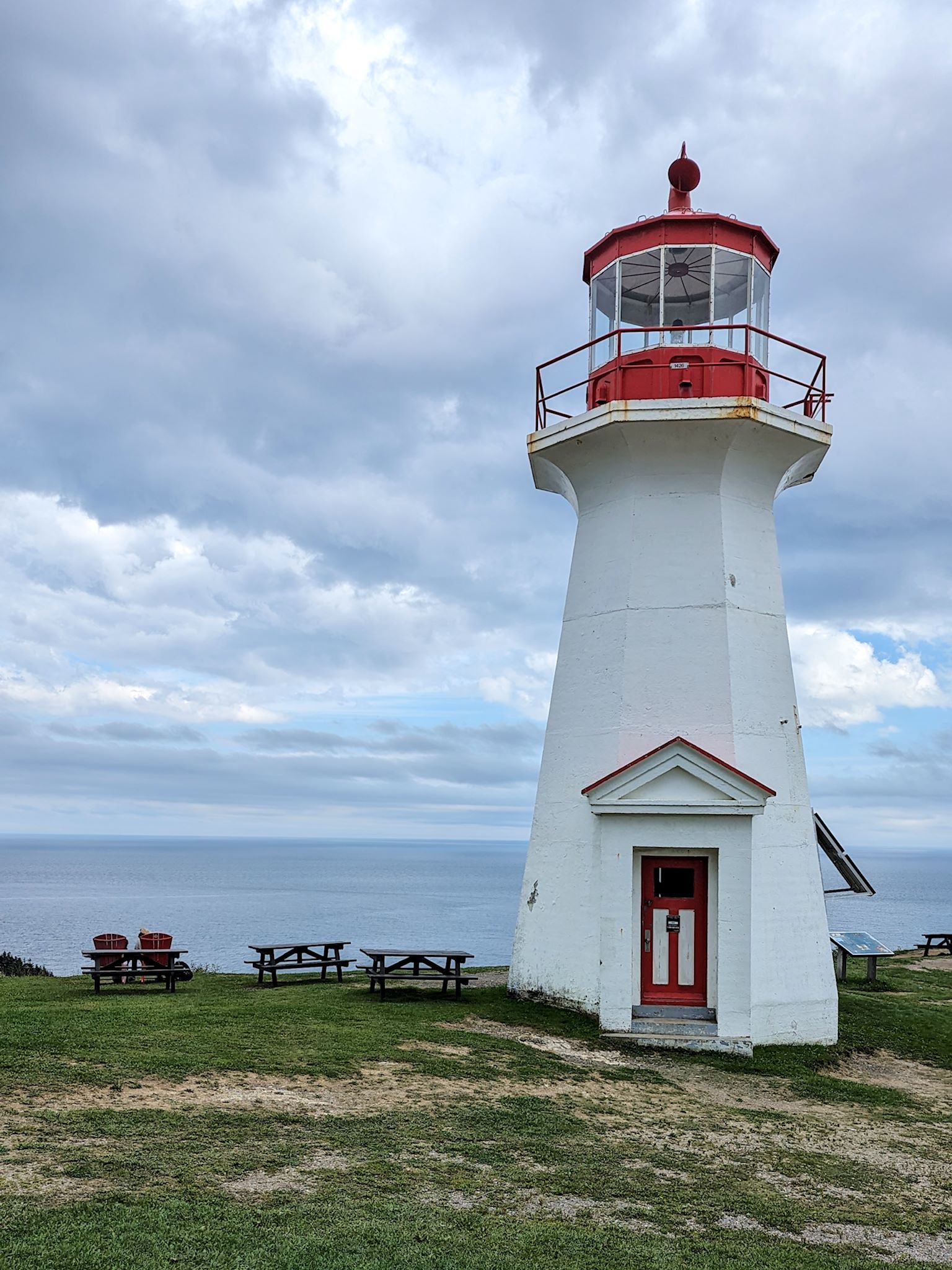
I woke up one day quite early – the sun was shining! Doug’s not a morning person and I knew the risk. Still, I brought him a nice cup of coffee in bed and asked if he would agree to an early hike to take advantage of the sunshine. Grumble. Grunt. Ok. Yes! Again taking advantage of a trail starting from camp, we hiked to the Cap Des Rosiers (Cape Rosebud) lighthouse on a trail that was partially wooded, marshy and across a rocky beach. And yes, we were surrounded by wild roses. Though it was a considerable distance away, we could see the lighthouse almost as soon as we left camp. Ha! It’s the tallest lighthouse in Canada.
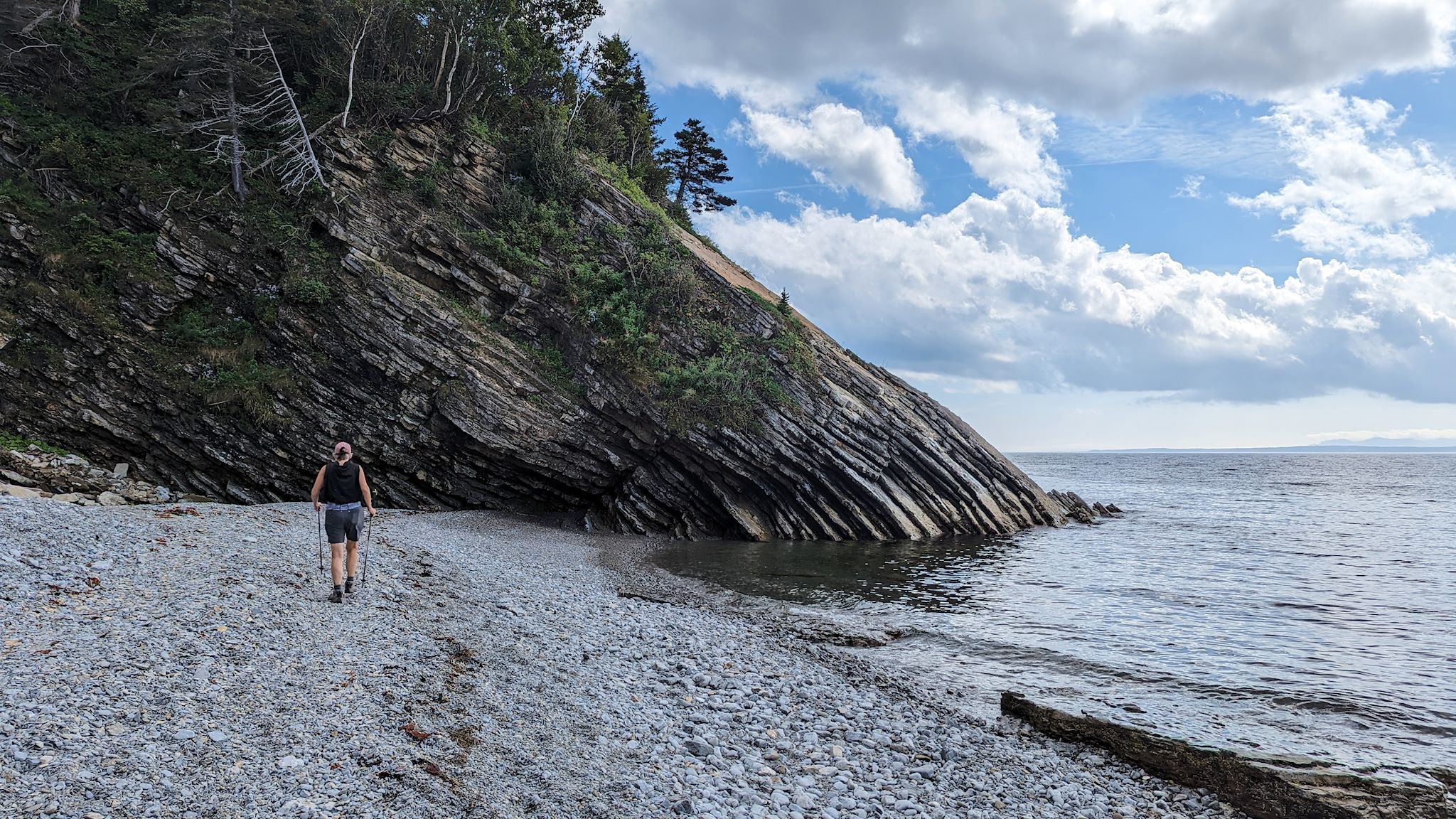
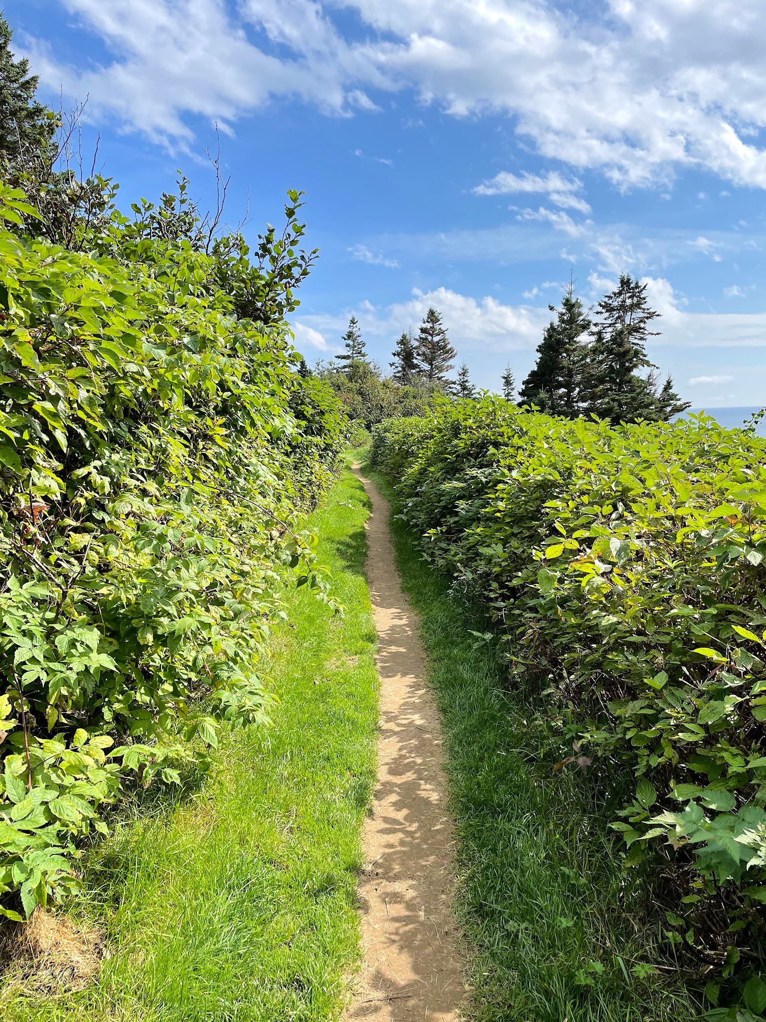
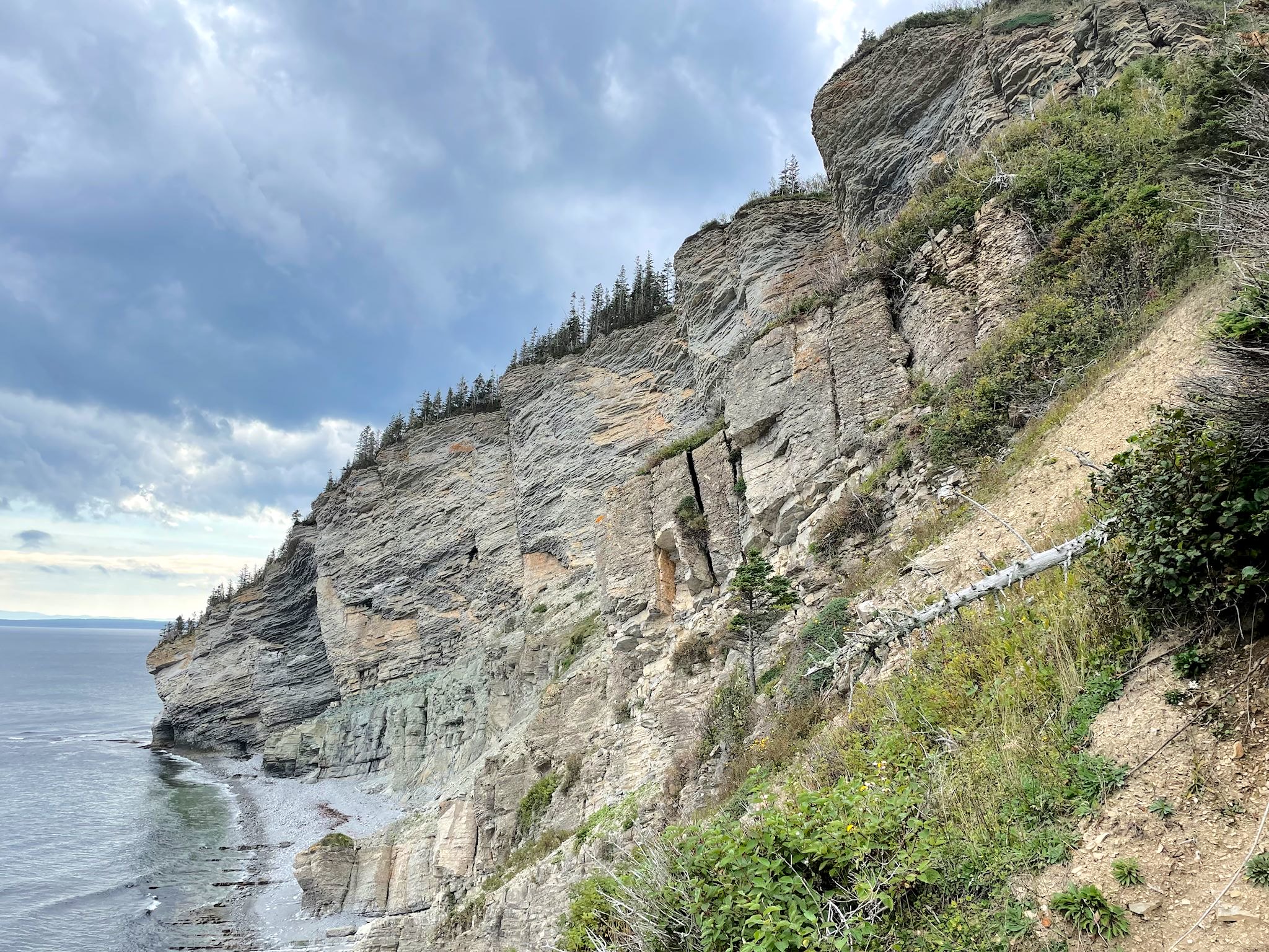
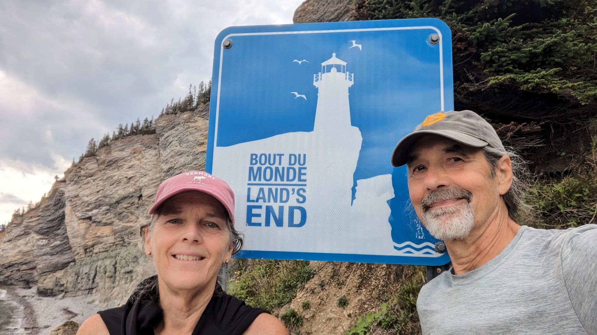
We got back to camp after about 7.2 seconds of rain, which began when we were within sight of our RV. During lunch, the rain let up and the sun came out again. Well, there’s another lighthouse on the other shore accessed by a hike along cliffs… Let’s do that! So we drove to the south side of the park and set out for our second lighthouse of the day. This trail wound its way along the beach, up on cliffs, through the woods and all of a sudden, there was a short, stumpy lighthouse in our faces – perhaps the shortest lighthouse in Canada (I don’t actually know, and they didn’t say). As the interpretive signs noted, it’s a short lighthouse on a tall cliff and it does its job well without having to be any taller. A short trail passed just a bit beyond the campground to a platform at the Bout du Monde/Land’s End.
The platform at Land’s End is also currently the end of the international Appalachian trail in Canada which starts in Maine at the end of the Appalachian Trail. There are plans to extend it as far as possible along the tectonic plate seams that formed the Appalachians, across Newfoundland and potentially including Ireland, Scotland, and Norway. There are already some completed segments in Western Newfoundland.
As we left Forillon National Park, we realized that we had probably just completed our last hike of the trip that would take us along the coast/ocean/sea/bay/cove/strait. We’ve been doing hikes along close to the salt water shores since we arrived in Mary’s Harbour, on the coast of Labrador, on June 30. From here, we’re heading inland.
For anyone who’s interested, more Mont Saint Alban hike, Cap Des Rosiers lighthouse hike, Gaspe lighthouse hike pix…